Floodplain Management, Permits, & Information

CBJ participates in the Federal Emergency Management Agency’s National Flood Insurance Program to protect property and public safety. CBJ implements local floodplain management regulations consistent with federal requirements, while qualified insurance agents and lenders implement the federal requirement to have flood insurance with a federally-backed mortgage.
Visit juneauflood.com for local resources on flood safety, education, Suicide Basin, glacial lake outburst flood inundation maps, and flood forecasting.
Visit floodsmart.gov for national resources on flood insurance, preparing for a flood, flood recovery, and understanding your risk.
Floodplain Development Permits
A Floodplain Development Permit is required for any development within a Special Flood Hazard Area on the adopted maps effective September 20, 2020. Special Flood Hazard Areas include all types of A and V zones and floodways. Special Flood Hazard Areas do not include X zones, which indicate the 500-year floodplain. The Floodplain Development Permit Application and Development Permit Applications may be found here:
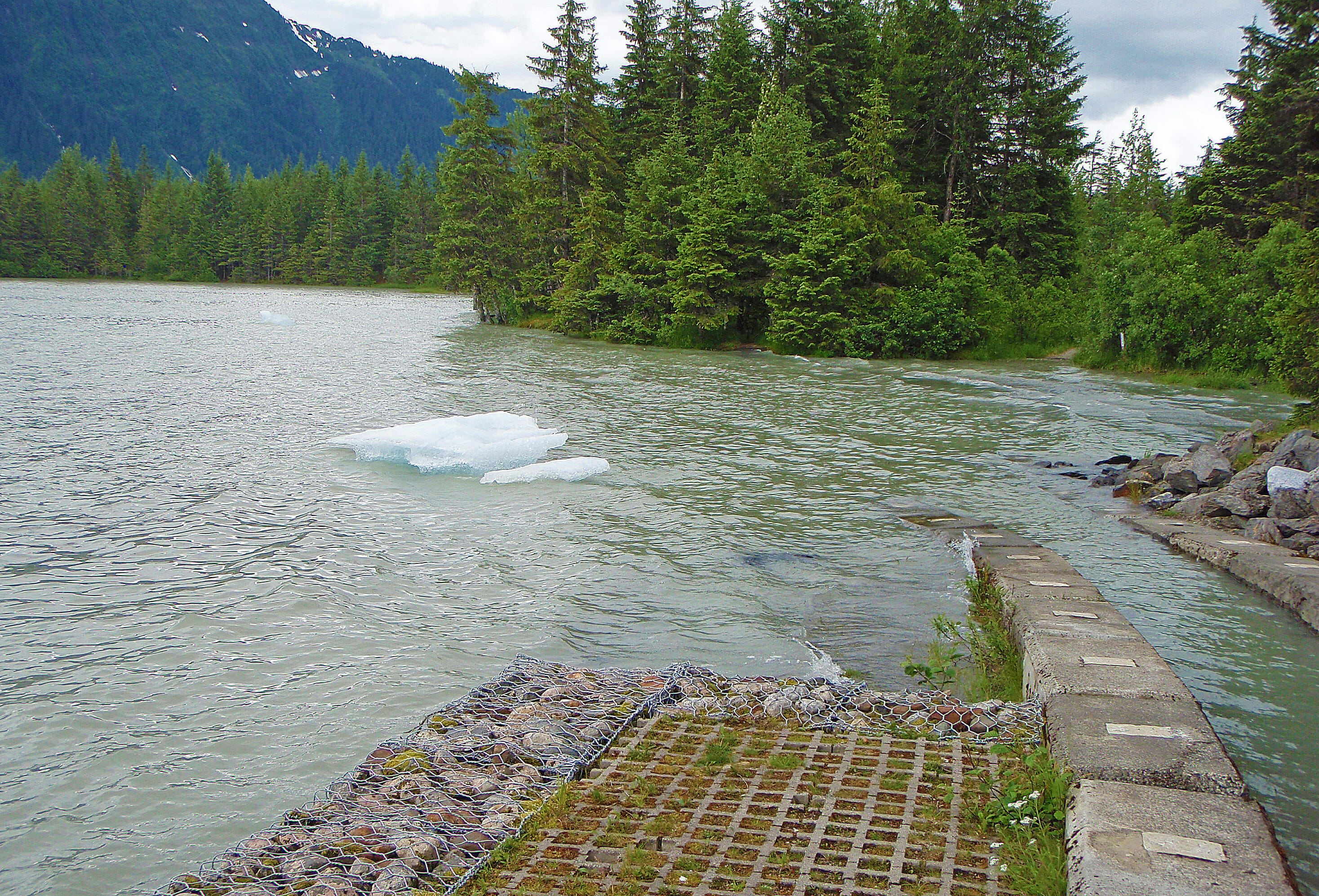
Mendenhall River Bank Stabilization
Information required prior to commencing bank stabilization work along the Mendenhall River for projects within the mapped Floodway. If any of these materials cannot be produced, the project cannot be permitted.
- Site Plan: Completed by a licensed surveyor. Including topography, property boundaries, floodplain, and floodway boundaries. The site plan is a survey of existing slopes adjacent to the river, which captures additional information relevant to a “no-rise” analysis and certification.
- Cross Sections: Developed by a professional engineer utilizing ground topography data captured by the surveyor and existing FEMA data.
- Plans: Completed by a professional engineer detailing the extent of the proposed work.
- Typical Section(s): Completed by a professional engineer detailing the slope of the proposed bank stabilization.
- Grading Permit Checklist: The checklist must include all required information.
- “No-Rise” Certification: Form must be completed by a qualified professional engineer and include hydraulic & hydrologic modeling, supporting data, and documentation.
- Conditional Letter of Map Revision: If your engineer indicates that your project is unable to achieve a “no-rise”, contact the Community Development Department to discuss next steps.
- Special Inspection Form:. Requires the engineered proposed work plan and coordination between the contractor and engineer. The engineer must have the opportunity to inspect the work while it is happening to certify the project was built according to the proposed plan.
- Description from an engineer of how the banks or channel of the Mendenhall River will be altered.
- Maintenance plan, from an engineer, so flood-carrying capacity is not diminished.
- Written certification that you have obtained all other necessary permits from any federal or state governmental agencies.
Information required prior to commencing bank stabilization work along the Mendenhall River for projects within the floodplain. If any of these materials cannot be produced, the project cannot be permitted.
- Plans: Completed by a professional engineer detailing the extent of the proposed work.
- Typical Section(s): Completed by a professional engineer detailing the slope of the proposed bank stabilization.
- Grading Permit Checklist: The checklist must include all required information.
- Analysis completed by an engineer demonstrating the cumulative effects of the proposed development on the base flood elevation.
- Special Inspection Form: Requires the engineered proposed work plan and coordination between the contractor and engineer. The engineer must have the opportunity to inspect the work while it is happening to certify the project was built according to the proposed plan
- Description from an engineer of how the banks or channel of the Mendenhall River will be altered.
- Maintenance plan, from an engineer, so flood-carrying capacity is not diminished.
- Written certification that you have obtained all other necessary permits from any federal or state governmental agencies.
Flood Insurance Rate Maps (FIRMs)
To determine if your property, structure, or project is within a Special Flood Hazard Area on the adopted FIRMs, the following resources are helpful. Contact the Community Development Department if you require assistance.
