Community Crime Mapping

Community Crime Mapping
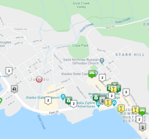
The Juneau Police Department participates in an online crime mapping program that allows the public to view crime information that occurs in our community. The LexisNexis Community Crime Map is free to the public and allows users to subscribe to optional email updates.
By informing the public of criminal activity in their area, the map enables viewers to make informed decisions to help improve the safety of their families, friends, property and community.
About Community Crime Map
LexisNexis Community Crime Map is a public crime map that connects law enforcement with the community to reduce crime and improve public safety. You can view and filter crime data in an interactive map and analytics dashboard to become better informed about crime activity in your area. You can also sign up for daily, weekly or monthly neighborhood crime activity email reports.
JPD believes the map is a useful tool that can help raise awareness and encourage viewers to work cooperatively with law enforcement. However, there are some limitations to be aware of before viewing the map:
- The base maps used by LexisNexis can be dated or contain errors. Some addresses, especially new neighborhoods, may not be available.
- Although JPD provides raw data to LexisNexis, JPD does not control how it is interpreted in the analytical section of the website. The charts and graphs depicted on the site are created and maintained by LexisNexis.
- In order to protect the privacy of victims of certain crimes and the security of pending investigations, LexisNexis has not been given access to all crime data. Therefore, the data used on Community Crime Map may be incomplete and should only be used as an informational tool.
- Not all JPD activity is plotted on the map. We work with Lexis Nexis to clean the data to protect victim privacy prior to displaying it to the public.
- People may sign up for daily, weekly, or monthly email alerts about crime occurring within a certain distance of an address of interest, such as your home, workplace or school. Please note that the content of Neighborhood Watch Reports depends directly on the frequency and content of uploaded data.
Any public questions regarding the information in the map should be directed to a JPD PIO.

