Inventory of Vacant & Underdeveloped Properties
Project Contact Information
If you have questions, please contact Joseph Meyers, Housing & Land Use Specialist at [email protected]
Overview
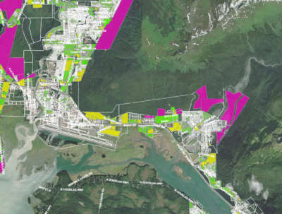
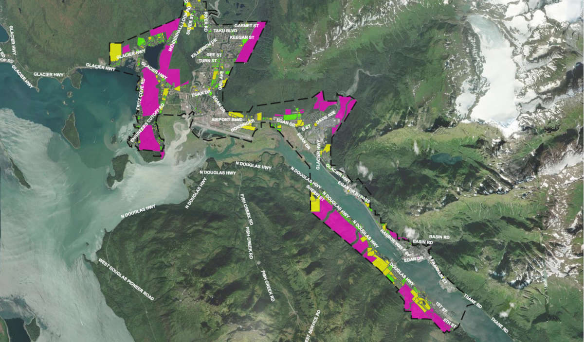
This inventory map was created to provide detailed information on publicly and privately owned lands within the City and Borough of Juneau.
Map elements include:
- Current and historic zoning
- Urban Service area boundary
- Vacant lands, private and CBJ-owned
- Developed private properties below the maximum allowable residential density
- Adopted severe hazard maps (adopted)
- Severe landslide and avalanche maps (Tetra Tech)
- Wetlands maps
- Flood zone maps
- Anadromous streams and stream protection corridors
- Slopes in excess of 18%
Project Goal
To provide insight into the potential of public and privately held land within the CBJ to support additional housing density and identify challenges to development of these lands.


