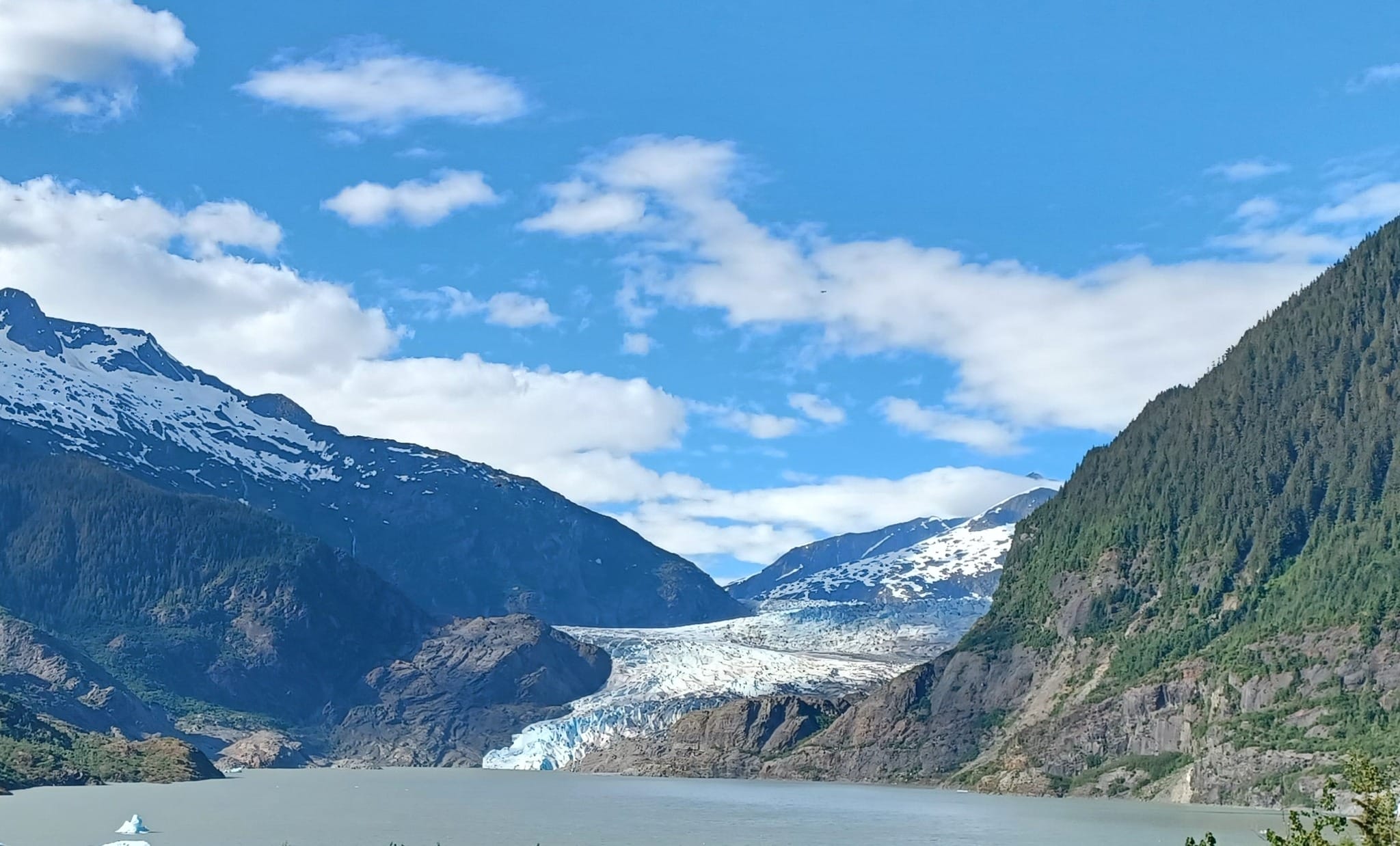
Suicide Basin update: prepare for significant flooding
Suicide Basin continues to release into Mendenhall Lake and River and current forecasts indicate that flooding could reach levels similar the August 2023 glacial outburst flood. Water levels are expected to crest in the very early morning hours of Tuesday, August 6, with water as high as 14-15 feet between approximately 1 a.m. and 4 a.m.
Residents near the river, especially those to the west of the Riverside Drive, are strongly advised to take immediate precautions. Make plans to spend Monday night at an alternative location, take steps to protect your property and move important items to higher floors, and prepare for possible power outages in the area.
CBJ is offering shelter at the Floyd Dryden Middle School building (3800 Mendenhall Loop Road) for those potentially impacted by flooding. The shelter will open at 8 p.m. tonight, Monday, August 5.
All members of the public should avoid the Mendenhall River and limit vehicle traffic to the area. Non-essential traffic obstructs access for emergency response vehicles and puts drivers at risk. When streets are flooded, traffic churns water and causes additional damage to homes and property.
Partner agencies will be using air assets to monitor the river and general situation. Do not fly unlicensed and/or unregistered drones in the area of Mendenhall River.
At this time, the following roads and trails are closed:
- Dimond Park pedestrian bridge
- Kaxdigoowu Héen Dei (Brotherhood Bridge Trail)
- Airport Emergency Vehicle Access Road/Airport Dike Trail
- Skater’s Cabin Road
- Mendenhall Campground
CBJ will continue to provide updates throughout the day.
Please send questions and non-emergency reports to [email protected]. Please limit calls to 911 or JPD dispatch to emergencies only, so that emergency responders are able to continue assisting the community. For those without access to email, please direct non-emergency questions and concerns to the City Manager’s Office at 907-586-5240.
For more information and data, follow National Weather Service Juneau on Facebook, visit the NWS Suicide Basin monitoring page at www.weather.gov/ajk/suicideBasin, or see the NWS Mendenhall River gauge at water.noaa.gov/gauges/MNDA2.
For information about how to stay safe during a flood, visit juneau.org/emergency/juneau-hazards and click the “Floods” tab.
To see all CBJ alerts and information releases, visit juneau.org/newsroom or follow CBJ on Facebook.
