Learn about new landslide & avalanche hazard maps at July 21 public meeting
Learn about and review new landslide and avalanche hazard maps during a virtual meeting on Wednesday, July 21 at 6 p.m. The City and Borough of Juneau Community Development Department is hosting the meeting and will present the new maps. Join the meeting online https://juneau.zoom.us/j/98499151172 or call 1-346-248-7799 or 1-669-900-6833 or 1-833-548-0276 (toll free) with Webinar ID: 984 9915 1172.
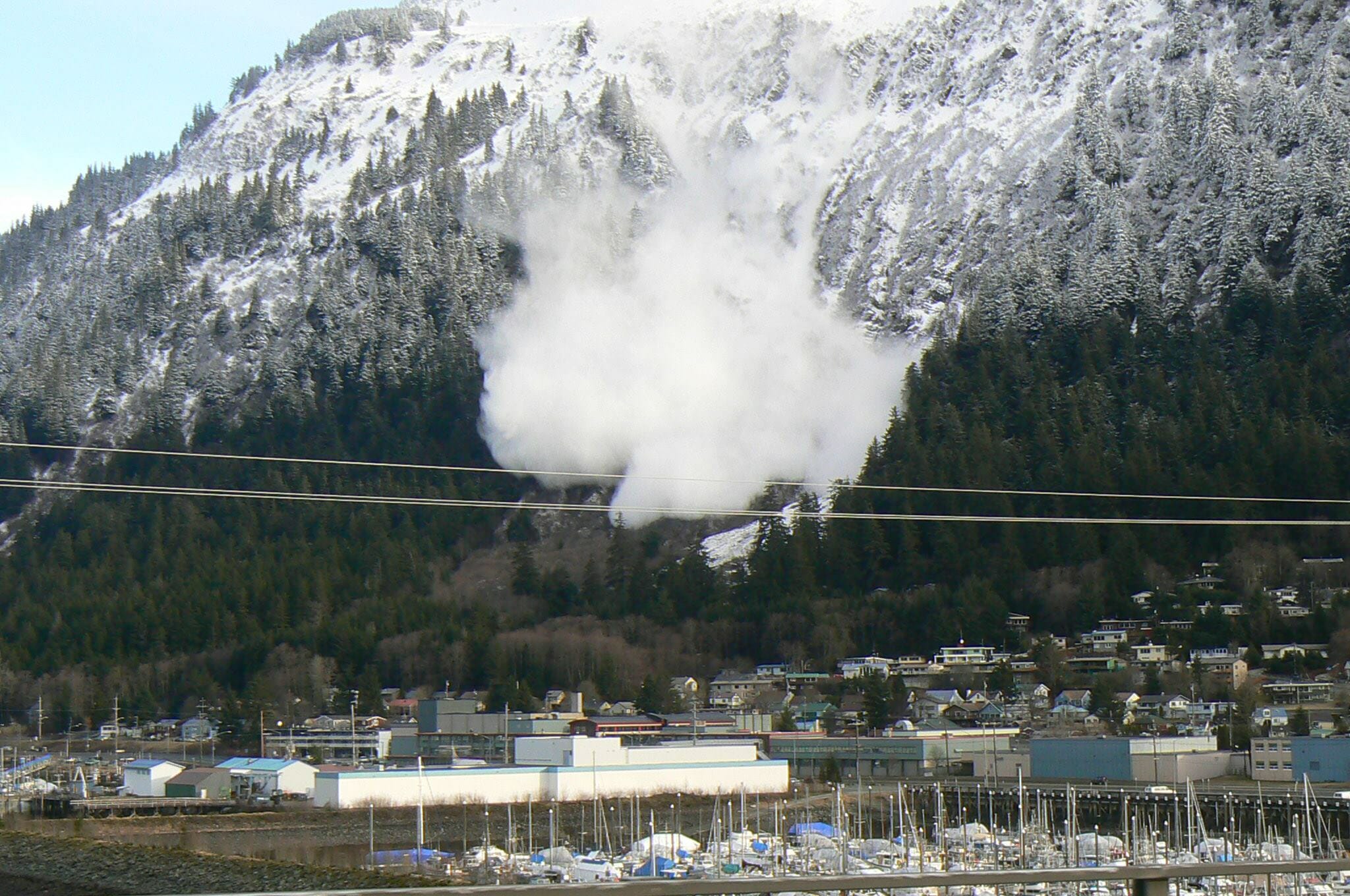
CBJ’s current hazard maps, adopted in 1987 for Downtown Juneau, are based on maps created in the 1970s. These low-resolution maps combine landslide and avalanche areas into a single map which identifies moderate and severe hazard areas. CDD received a grant from the Federal Emergency Management Agency to update these maps with current scientific analysis and GIS technology, and to evaluate landslide and avalanche areas separately.
During the July 21 meeting, CDD and its consultant, Tetra Tech, will describe the research conducted and the resulting changes to the hazard maps. The next steps are review by the Planning Commission and Assembly. Besides adopting the new, more accurate maps, there are no proposed regulatory changes at this time. The community can expect to see a public process around regulatory changes in 2022.
For more information, go to the project webpage, or contact Senior Planner and Project Manager Teri Camery at 907-586-0753 ext. 4129 or [email protected].