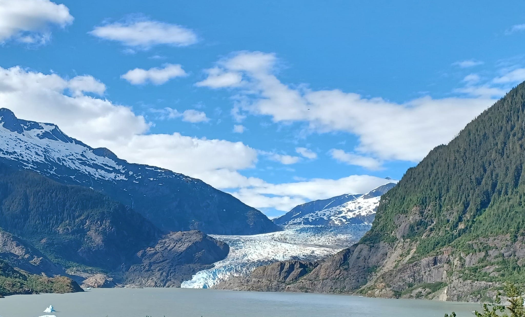
Suicide Basin full, overtopping glacier
Data indicates Suicide Basin has filled and has begun to overtop the glacier. What does this mean? Like water overflowing out a full bathtub, water flowing over the dam created by the glacier has to go somewhere – in this case, Mendenhall Lake and Mendenhall River. At this point, we don’t know how much the overtop will raise the level of the Mendenhall River. Due to monitoring and modeling improvements since 2023, the community will have more notice if the river rises to hazardous levels.
Overtopping events by themselves haven’t resulted in floods in the past, but we tend to see outburst events – or jökulhlaups – shortly after the basin fills up and overtops, which can cause floods. An outburst is when the basin drains rapidly – like pulling out the plug in a full bathtub.
Residents in the vicinity of the river, especially those to the west of Riverside Drive, are strongly encouraged to make an evacuation plan and prepare a go-bag in case of emergency.
CBJ and local weather agencies will monitor river conditions closely over the coming hours and days. The single best source for overall weather information is https://www.weather.gov/ajk/suicideBasin.
For information about how to stay safe during a flood, visit juneau.org/emergency/juneau-hazards and click the “Floods” tab. For more information about glacial outbursts, visit CBJ’s jökulhlaup FAQ.
For the latest advisories from CBJ, visit juneau.org/newsroom or follow CBJ on Facebook.
Specific water-level data is available via the National Weather Service’s Mendenhall River gauge and Suicide Basin gauge.
